Annual Expedition
Misogi
One extraordinary challenge each year. Not to prove something — to become the kind of person capable of completing extraordinary things.
First Expedition
2025 — The First Chapter
Distance
~20 Miles
Elevation
~3,500 ft
Route Type
Continuous Loop
Basecamp
Trout Pond Recreation Area
After Action Report
The small things had the biggest impact.
Eight lessons. Eight doctrine updates. A forgotten belt, no water at the midpoint, wrong departure time, knee-high spring grass, a packing window of less than twenty-four hours. None of it was catastrophic. All of it was instructive. Every lesson is now written down.
Read the Full AAR →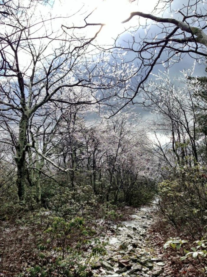
Second Expedition
2026 — Return
The Route
The Wolf Gap's Mauling w/ Long Mtn
George Washington National Forest · Clockwise loop from Wolf Gap
Distance
43.97 mi
Total Ascent
8,848 ft
Elevation Range
1,438 – 3,295 ft
Dates
Nov 3–6
Route Waypoints
Start / Finish
Wolf Gap
Day 1 Early
Tibit Knob · Devils Hole
Day 1 Mid
Long Mtn · Sandstone Spring
Night 1 Camp
N of Trout Pond Split
Day 2 — Rail Grade Descent
Trout Run Creek → Bucktail at Capon
Day 2 Water
Large Creek at Bucktail ★
Night 2 Camp
Halfmoon Lookout
Day 3 Finish
Wilson Cove → Wolf Gap
Night 2 Water Protocol
Halfmoon Lookout has no water at the top. Nearest source is approximately 10 minutes away. Standard procedure: make camp first, designate water detail, move to source and return before dark. Carry enough capacity from Bucktail at Capon to cover the climb and camp setup regardless. This is not an assumption — it is a planned procedure.
Expedition Schedule
Tue
Travel Day
Drive to Wolf Gap · Car Camp Overnight
Depart after dinner. Stage at Wolf Gap Recreation Area. Gear final checks. Rest before Day 1 — no movement tonight. Moon rises after 1am and sets mid-afternoon, leaving the evening sky completely dark.
Wed
Day 1 · ~15 miles
Wolf Gap → Tibit Knob → Trout Pond Camp
Clockwise departure. Early climbing through Tibit Knob and Devils Hole. Through Long Mtn and Sandstone Spring. Camp just north of the Trout Pond split — valley terrain, tree cover, water available. Sky doesn't matter tonight. Rest does.
Thu
Day 2 · ~15 miles · Taurid Peak
Trout Pond → Bucktail at Capon → Halfmoon Lookout
Mostly rail-grade descent through Trout Run Creek. Steep drop to the large creek at Bucktail at Capon — last reliable water before camp. Resupply here. Climb out to Halfmoon Lookout. Make camp. Water detail moves to source and returns before dark. After midnight: headlamps off, phones away, 20–30 minutes of silence under the Southern Taurids. Slow fireballs. That's the money.
Fri
Day 3 · ~14 miles · Finish
Halfmoon → Wilson Cove → Wolf Gap
Final movement. Complete the loop. Return to Wolf Gap by sundown. Debrief on-site. Home Friday night. Doctrine updates begin before the details fade.
Sky Conditions · Nov 3–6
Moon rises between 1–4am and sets mid-afternoon throughout the window. Evenings from dark until after midnight are completely moonless. Southern Taurid peak Nov 4–5. Camp with a clean southern and eastern sky exposure — Halfmoon Lookout is the target. Kill headlamps after midnight. The Taurids are slow fireball producers. That's the money.
Why November
The Environment Is a Variable, Not a Background
Dark Skies
Little to no moonlight during the first week of November. The kind of darkness that removes distraction and demands presence.
Isolation
Reduced trail traffic. Bare deciduous trees. Cold air. The mountain feels different in November than it does in summer — it feels honest.
Taurid Meteors
Southern Taurid peak Nov. 4–5. Slow, bright fireballs. One night becomes a formal observation period — part of the permanent expedition tradition.
Cold Stress
Cold-weather operations require different gear decisions, water management, and caloric planning. These are skills. They must be practiced before they are needed.